





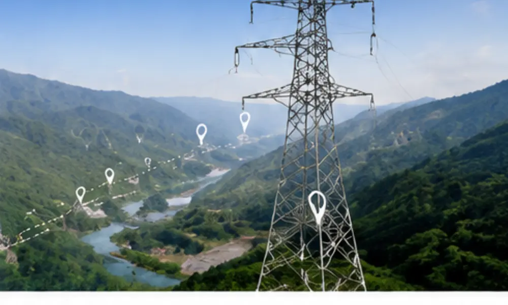
Best route and positions.
ZZ Steel · Power Infrastructure
TOWER SPOTTING
Optimize Tower Locations. Reduce Cost. Ensure Reliability.
Advanced tools and engineering expertise identify optimal tower locations, minimize earthworks, avoid obstacles and improve safety and project economy.
Clearances and codes.
Lower construction cost.
Reliable data and calculation.
Tower Spotting Workflow
Route, terrain and constraints.
Alignment and sensitive areas.
Topography, soil and land use.
Initial tower locations.
Optimize spans and positions.
Earthworks and construction.
Safety, clearance and standards.
Drawings and coordinate list.
Key Considerations
Terrain & Environment
- Elevation
- rivers
- roads
- settlements
- protected areas.
Engineering
- Soil
- foundation feasibility
- clearances
- line angles
- spans.
Project Economy
- Land use
- access
- construction
- maintenance
- total cost.
Input Data & Output Deliverables
Input Data
- Topographic survey
- DEM
- route constraints
- design criteria and standards.
Output Deliverables
- Plan/profile drawings
- tower coordinate list
- earthwork estimate
- BOQ and cost assessment.
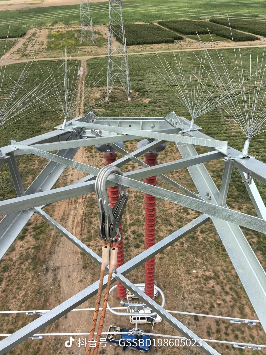
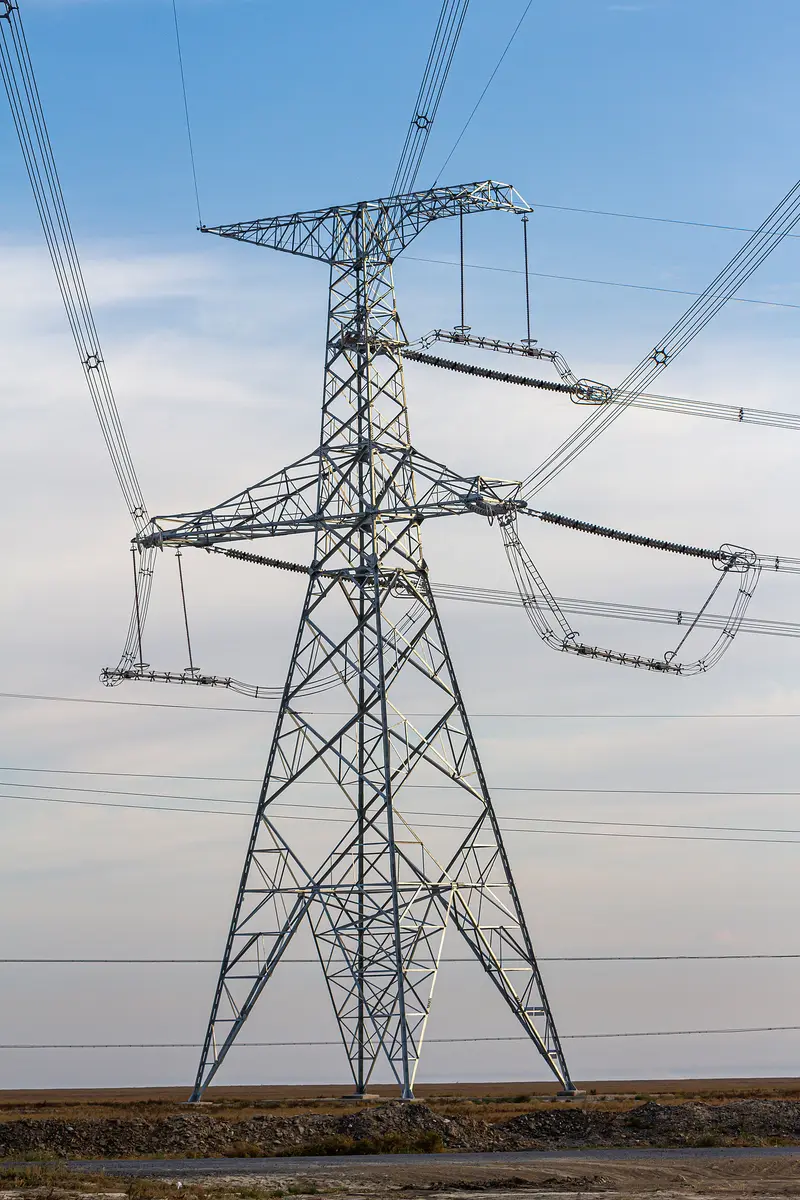
Example Tower Spotting Plan & Profile
Plan view records tower locations, route alignment, crossings and terrain features. Profile view verifies ground elevation, span lengths, tower heights and electrical clearances.
- Tower locations and types
- Route alignment
- Terrain profile
- Clearance verification
- Span and angle data
Project Summary
| Parameter | Example |
|---|---|
| Project | 220kV Transmission Line |
| Route Length | 125 km |
| Tower Quantity | 312 |
| Average Span | 400 m |
| Special Crossings | River · road · mountain sections |
Advanced Tower Spotting Tools
PLS-CADD
Civil 3D
ArcGIS
QGIS
Google Earth
AutoCAD
Why Choose ZZ Steel
Build a stronger project with ZZ Steel.
Share your requirements with our engineering and sales team.